|
During my visit to Eshott on August 22nd, I
didn't get to see as much as I had planned. The A1 was solid crawling traffic,
giving no chance to get the convoy across the carriageway heading North to
explore the North side of the airfield. So on the last day of the school
holidays, we took a trip North in the normal car, to visit Eshott and
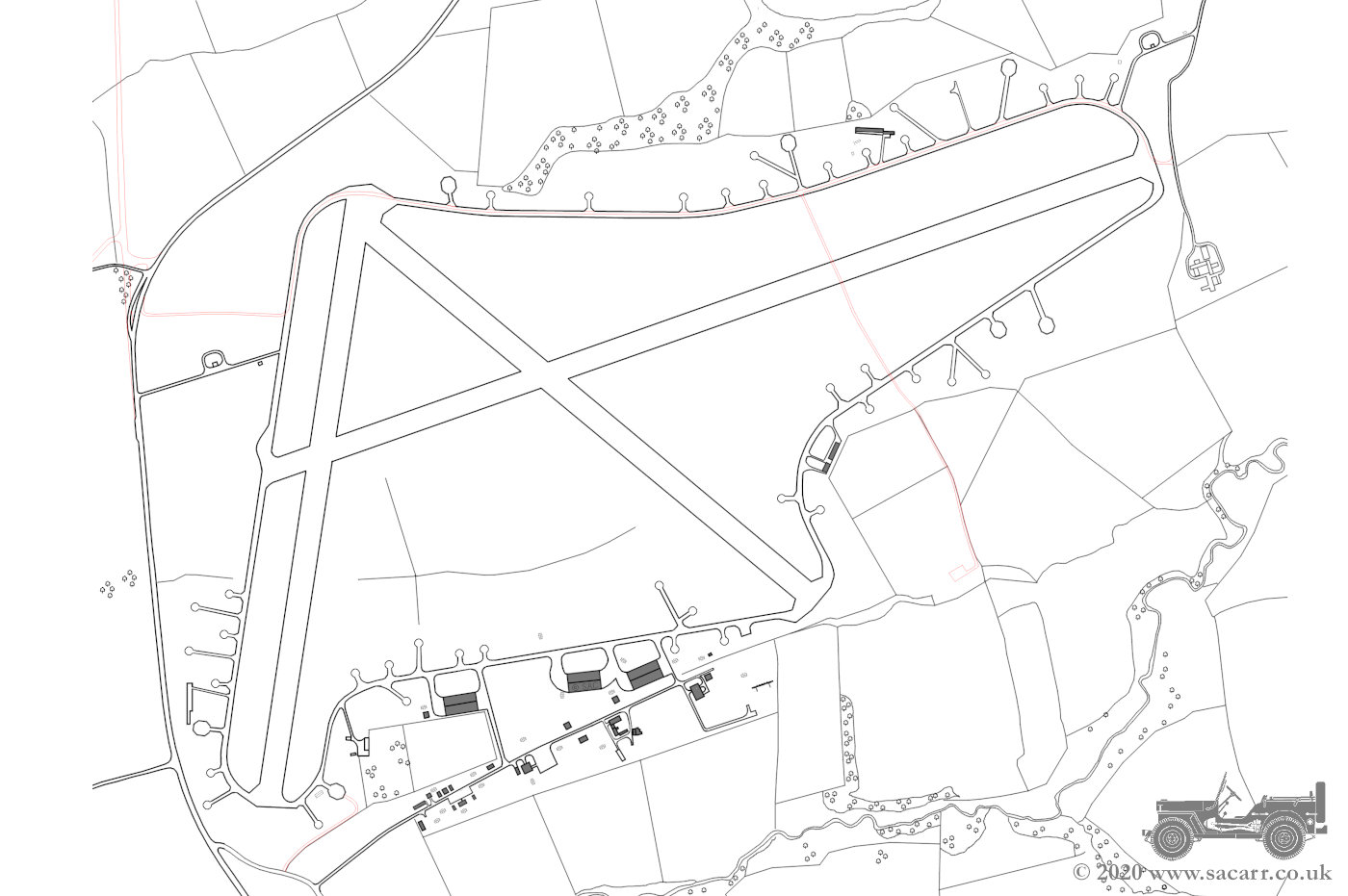
Northumberlandia, heading to Eshott first. The pictures below show an airfield
map which, along with the thumbnail maps in each picture, will help to
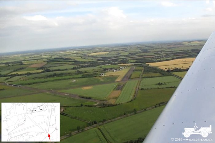
identify the location. Next is an aerial view of Eshott from a flight in 2014,
looking approximately South. Passing the normal airfield entrance, we
continued to the next junction for a minor road that now uses the Northern
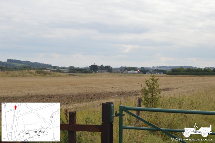
Perimeter track. We joined the perimeter track at the North Western corner of
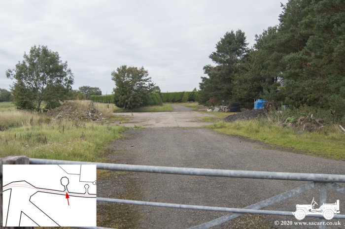
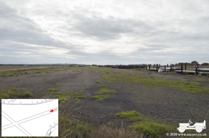
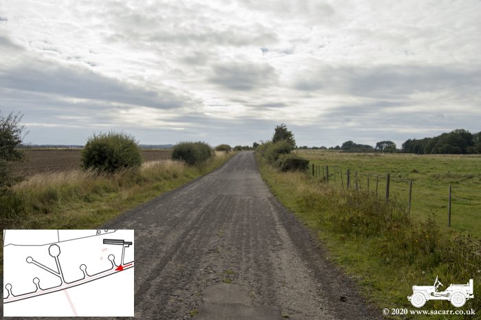
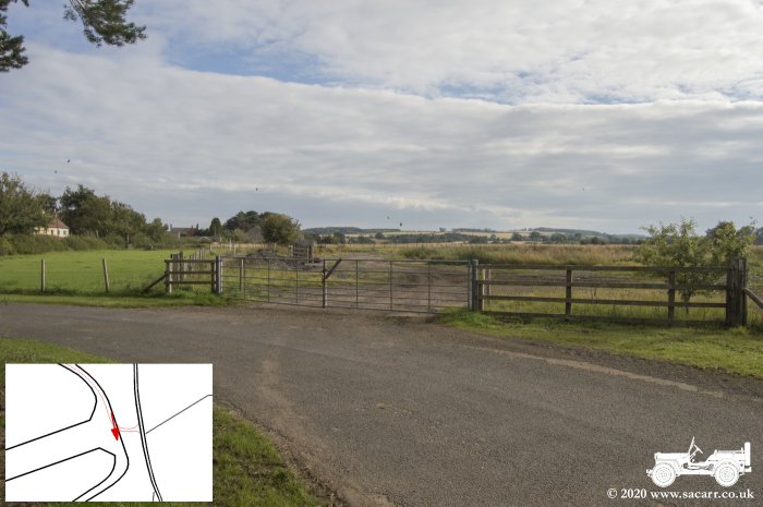
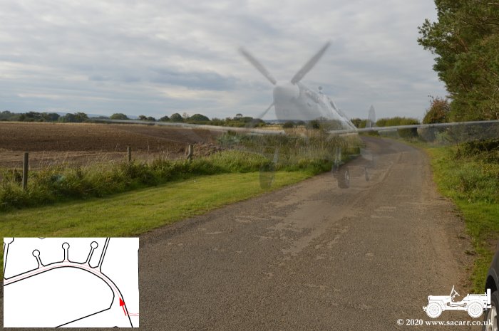
the airfield, near to one of the underground fuel stores. The image looking
over the gate is looking South along the perimeter track with the fuel store
road off to the right. Off to the left in the distance, is the part of the
airfield which remains active. |
|||
|
|

|
|
|
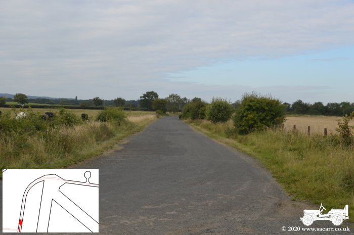
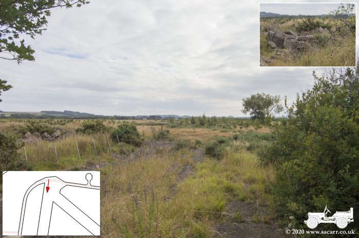
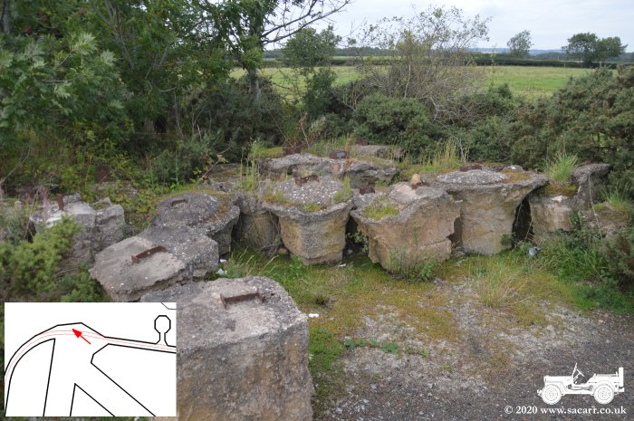
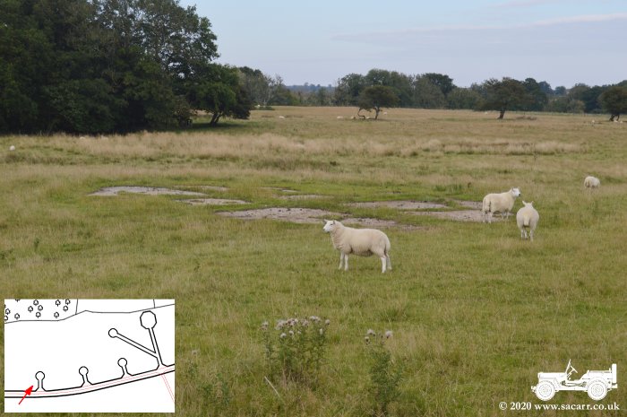
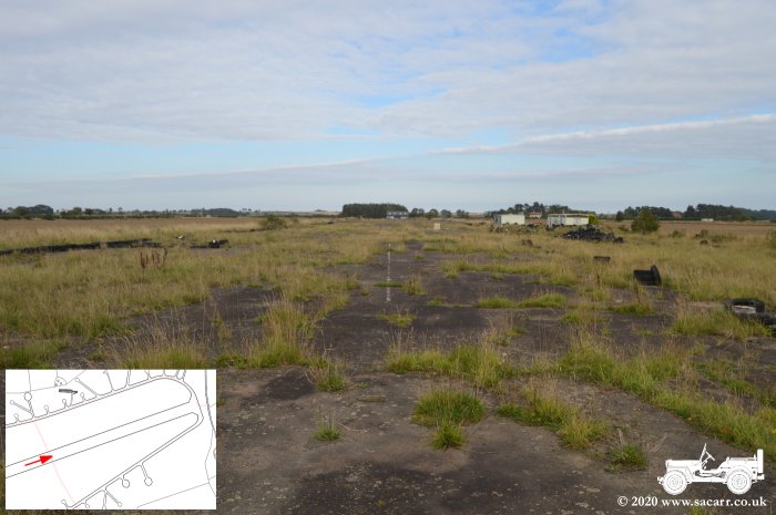
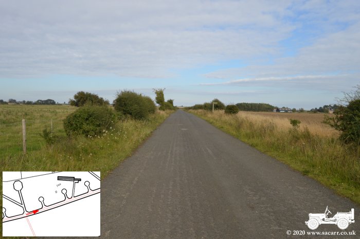
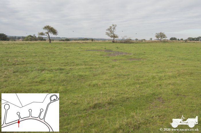
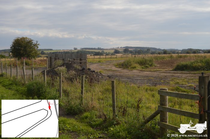
Looking North, the perimeter track continues North for a few hundred feet before curving around to the East across the ends of the two secondary runways. The runway survives, but is severely overgrown, with large sections of concrete and demolished buildings piled up in the undergrowth. From here, the perimeter track heads approximately East. On the left side of the road at the end of the runways, there are a number of large concrete foundations with the remains of 'I' section steel protruding from the concrete. I don't know where these are from, as the hangars were all on the South side of the airfield and it seems a long way to move them just to be dumped. |
|||
|
|
|
|
|
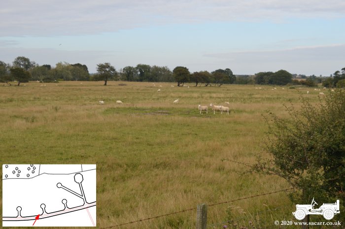
A little further East on the perimeter, there is a large concrete pan dispersal. Based on RAF Morpeth, I suspect this may have had a blister hangar over it. Many of the other dispersals along this stretch of perimeter are much smaller pans. The pans themselves are concrete while the tracks leading to them were tarmac covered. In most cases, this tarmac is breaking up and overgrown with grass. The tracks still stand out due to the less dense scrub in these areas. |
|||
|
|
|
|
|
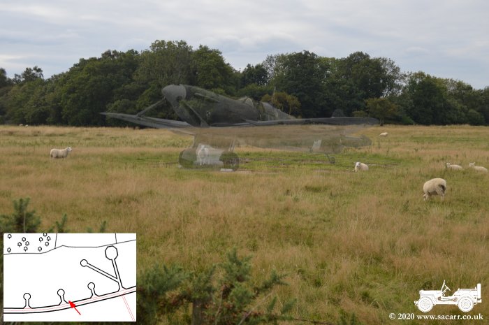
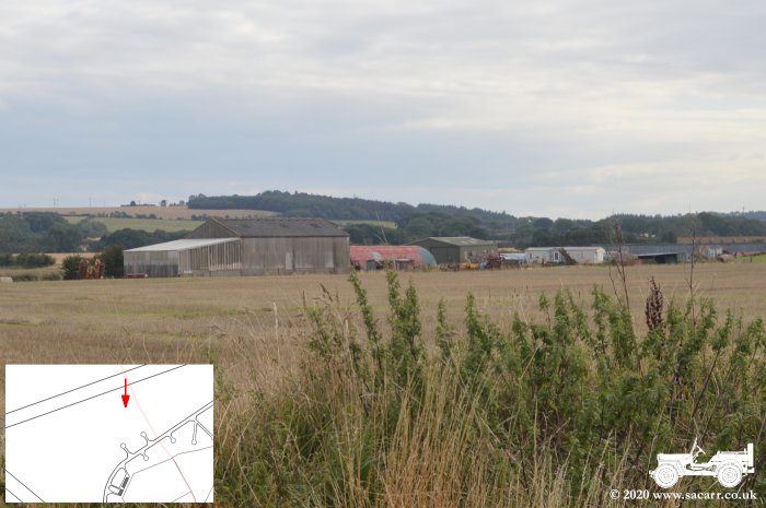
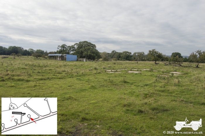
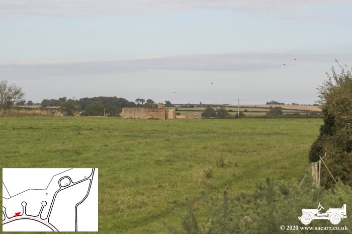
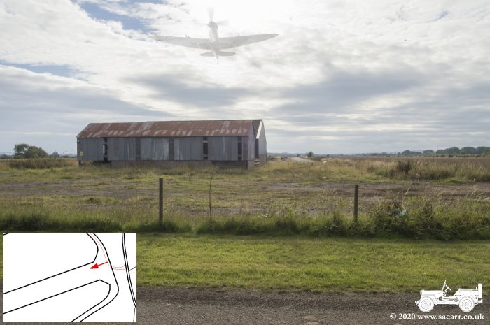
About half way along the perimeter, there's a new road that has been built across the airfield, leading to a farm. A short drive along this road brings you to a point around two thirds of the way East along the main runway. The second picture below is taken from the middle of the runway width, looking East. Off to the left is a red/rust coloured Romney hut type building, along with other farm buildings. In the distance is the huge wall of the firing butt. |
|||
|
|
|
|
|
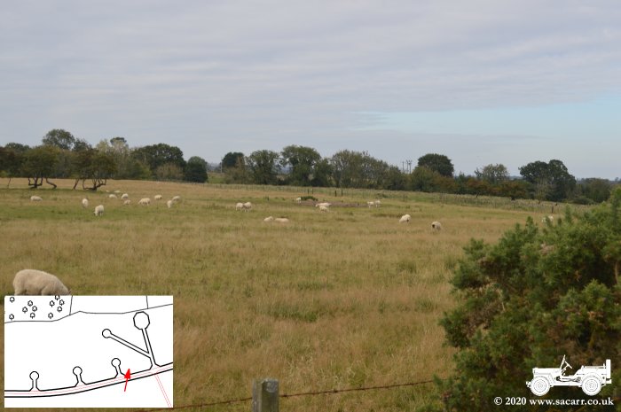
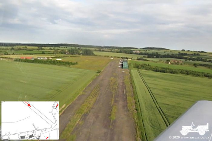
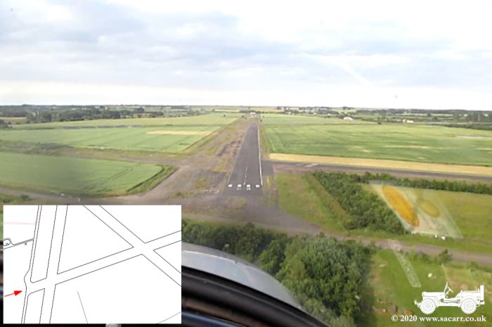
In this take off picture from 2014, heading East along the main runway, the firing butt can be seen at the right side of the image. Back on the ground, the second picture shows the main runway looking West. Back in the air again, on finals for runway 08, the former main runway. So after some pictures on the runway, the car was turned to head back along the perimeter track. The next picture shows some of the broken up tarmac leading to another small pan dispersal near an old farm building. |
|||
|
|
|
|
|
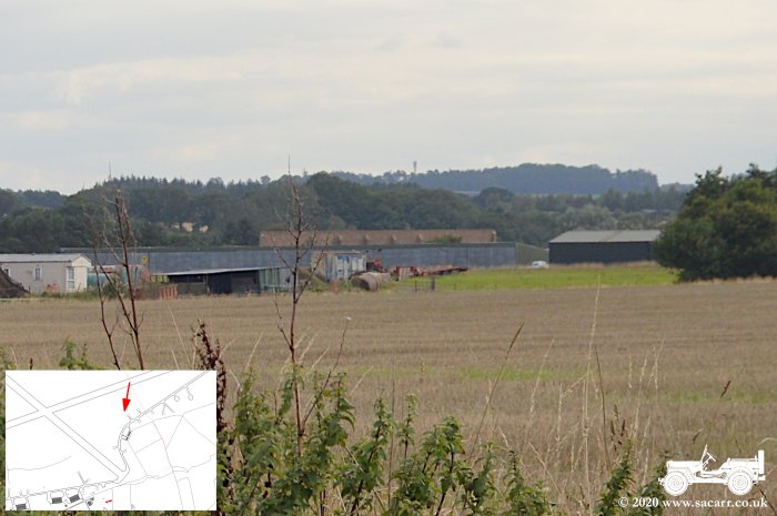
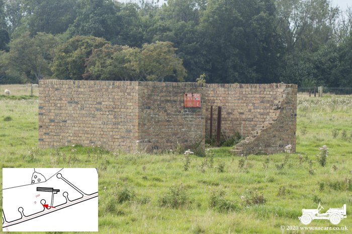
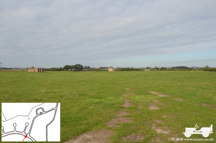
Two airfield structures stand close to this point. The nearest square building has a danger high voltage sign on it. I don't know whether it was a wartime sub-station or was converted after the war. Just beyond is a concrete tunnel air raid shelter, like the one at RAF Morpeth, that was behind the blister hangar. The concrete roadways all seem to be still there, showing up on Google Earth, but are slowly being overgrown. It would be nice to clear a dispersal with a shovel, just to get some clear pictures and measurements of the concrete slabs. |
|||
|
|
|
|
|
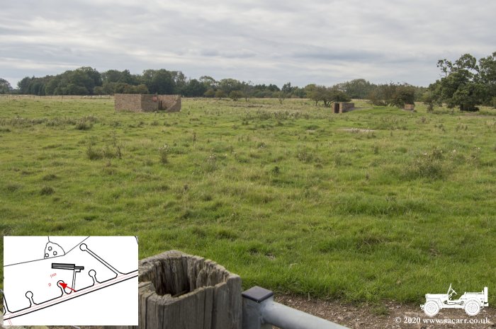
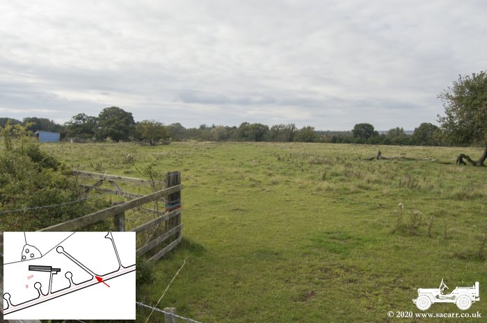
The next few pictures show this dispersal and building area, along with views each way along the perimeter track. There's quite a rise in the ground along this perimeter track looking back to the West. |
|||
|
|
|
|
|
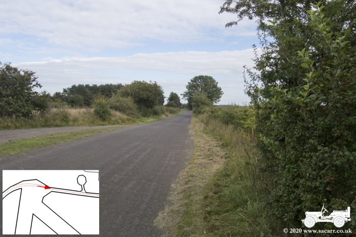
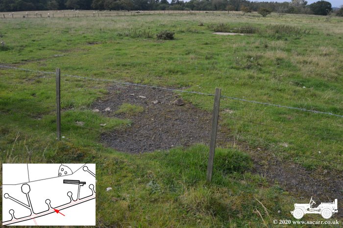
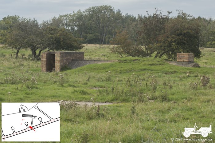
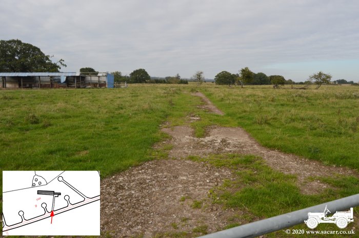
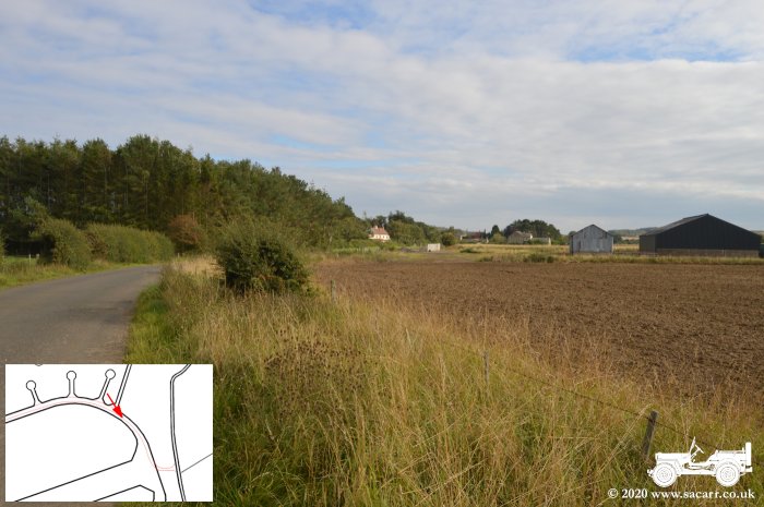
The next picture shows the track leading to one of the pan dispersals. It is completely overgrown, but the short grass shows its path. The concrete appears to be still under there, limiting growth. By now we were almost at the end of this perimeter track and as it begins to swing around to the right, there are three surviving buildings to be seen. One of the concrete roads leads to the second underground fuel store. |
|||
|
|
|
|
|
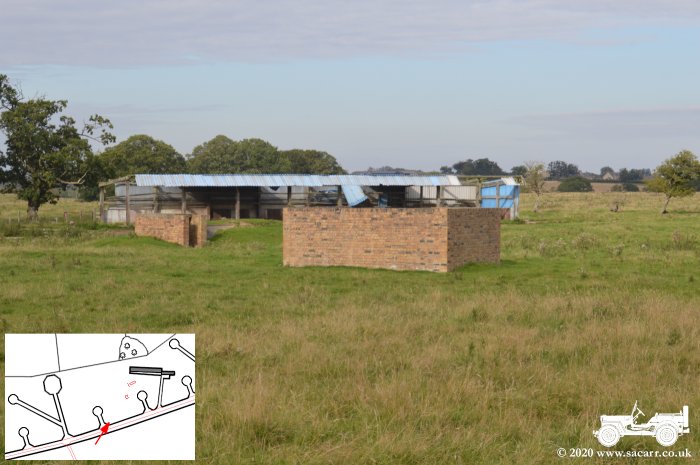
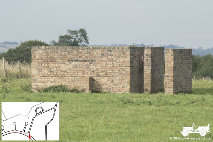
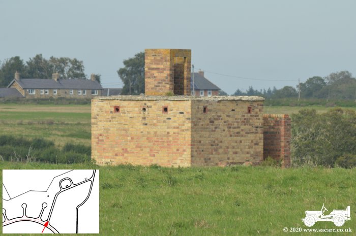
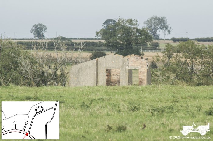
I don't know what the closest, rectangular building was used for It is roofless and has a blast wall across the door. The second building with the small tower, is on the fuel store site, so is probably the pump house. It still appears to have its flat roof. The third building is also roofless and doesn't look in great condition. It is located closest to the public road. The last image looks more South across the end of the main runway. |
|||
|
|
|
|
|
At the end of the runway, looking South, the perimeter track curves right again towards the technical site. The next picture is looking North, back around the perimeter towards the fuel store. Picture three is looking West along the main runway, the far end of which is still used for flying. The last picture is once again the perimeter track, curving off to the technical site on the South side of the airfield. |
|||
|
|
|
|
|
There are a few buildings that survive on the technical site, but as they are on private property, I couldn't get close enough last visit or this vist to see anything. |
|||