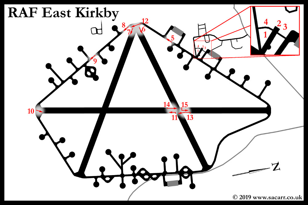
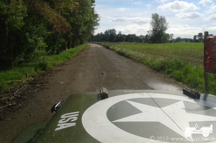
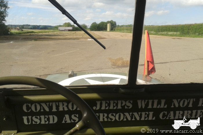
I made a few tours of the airfield over the weekend -
some in the Jeep and an official one in the Bedford/Queen Mary. Most of the
runways have been reduced to a single concrete bay wide but the basic layout
of the airfield is still there to be seen. The Eastern and Northern
extremities of the airfield weren't investigated on this trip. Not shown on
the plan, is the large post war USAF extension to the NE-SW runway which still
exists.
|

|
|
|
|
|
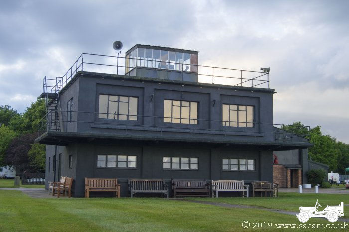
1 - The Control Tower
|
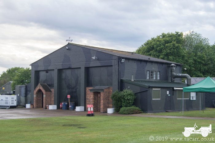
2 - Post War USAF Fire Station
|
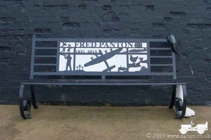
3 - Fred Panton Memorial Bench
|
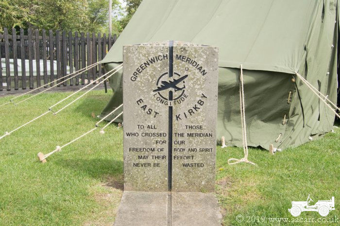
4 - Meridian Memorial
|
|
|
|
|
|
|
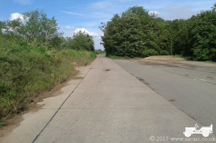
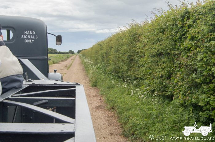
5 - Tech Site perimeter track heading South
West
|
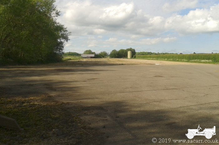
6 - ENE-WSW Secondary Runway looking East
North East
|
7 - The NW end of the NW-SE Secondary Runway
looking South East
|
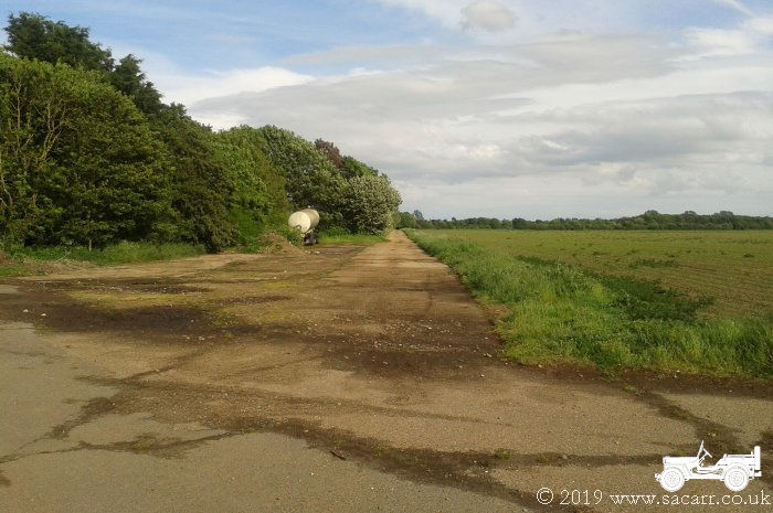
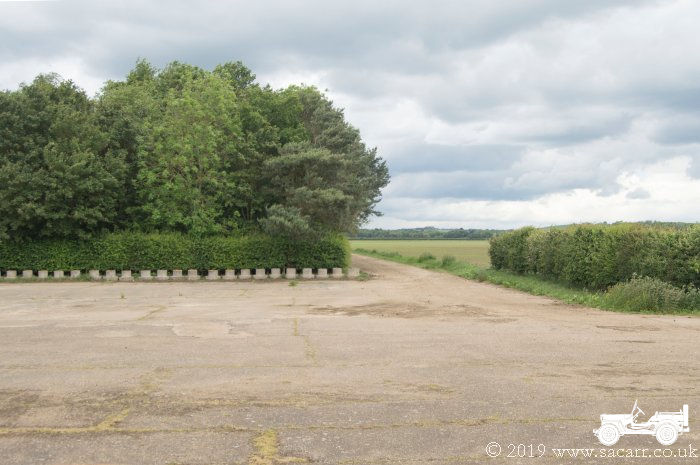
8 - The SW perimeter track looking South East
|
|
|
|
|
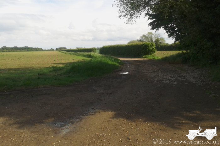
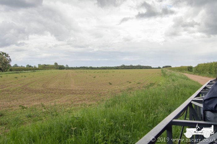
9 - Driving SE along the South Western
perimeter track
|
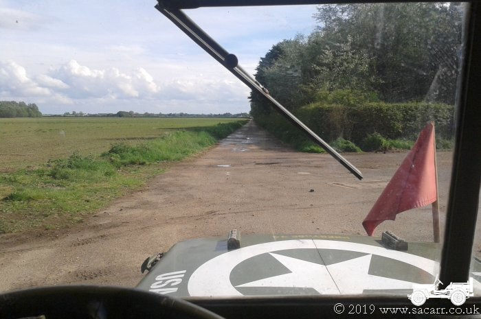
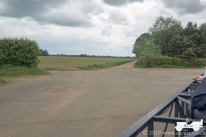
10 - The Southern end of the main runway,
looking NNE
|
11 - The Main Runway from the WSW-ENE runway
intersection, looking South
|
12 - The SW perimeter track looking South
East
|
|
|
|
|
|
13 - The Main Runway from the WSW-ENE runway
intersection, looking South
|
14 - The Main Runway from the WSW-ENE runway
intersection, looking North
|
15 - The Main Runway from the WSW-ENE runway
intersection, looking North
|
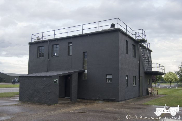
1 - The Tower, built to drawing 12779/41 with
smaller windows to drawing 343/43
|
|
|
|
|
|
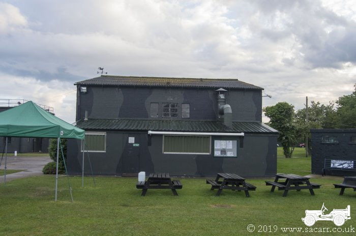
2 - Post War USAF Fire Station
|
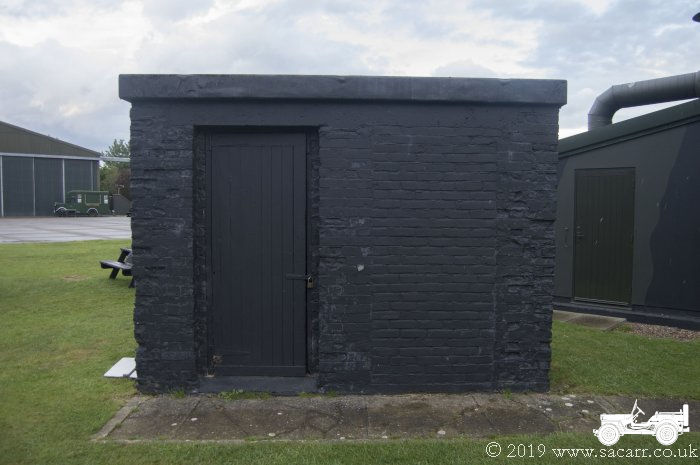
2 - The Pyrotechnics Store
|
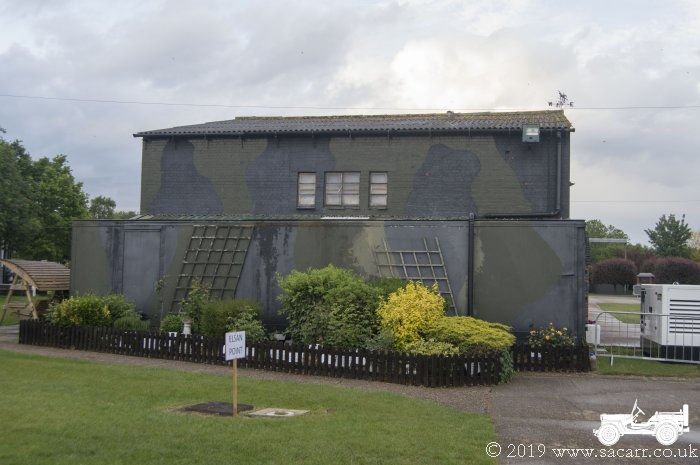
1 - The rear view of the tower
|
2 - Post War USAF Fire Station
|